It started
Saturday morning at Lichfield Trent Valley station catching the train at 6:37 to Crewe. With a change at Crewe and another at Lancaster, I arrived at Ravenglass at about 11:00. With the North Sea less than a mile to my west and the hills in the opposite direction, I started walking east.
 |
| Ravenglass Station |
Very soon on I noticed the bottom of my backpack felt wet and with it being sunny I knew that it was my hydration bladder which can leak if you don't seal it up properly, so I stopped to take a look. Getting the bladder out I tightened the screw cap but soon realised the bladder was leaking through a tiny hole and there was pretty much nothing I could do. So I put it back in my bag, thinking that the hole was so small I wouldn't loose much water.
 |
| Ravenglass Roman Bath House Ruins |
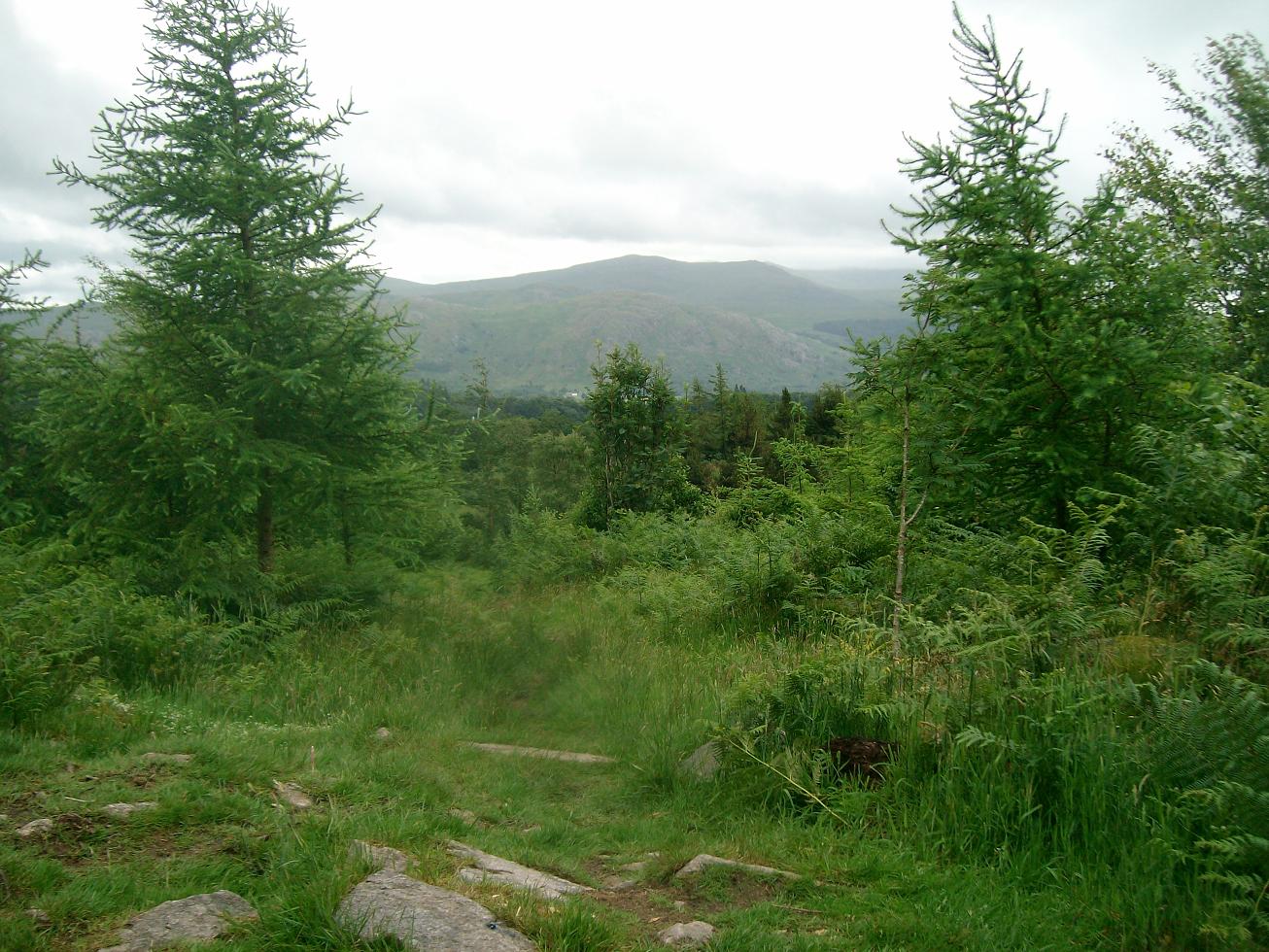
I carried on an after walking past some Roman bath house ruins and Muncaster Castle and then I started my first hills of the trip. The Muncaster Fell is only small hill (at 231m) but is a nice long narrow ridge offering some good views over Ravenglass, Sellafield in the distance and hills all around.
 |
| Trig at Hooker Grag (Muncaster Fell) |
After walking along the ridge I descended down into Eskdale Green. I passed over the Muncaster to Eskdale railway at Irton station where I saw a steam train heading up into Eskdale. I then walked up through Miterdale Forest where stopped for lunch with views of the hills through the trees.
 |
| Lunch stop in Miterdale Forest |
After refuelling I started the walk up again and then turned up the path up Irton Fell to Whin Rigg.I walked up to Whin Rigg and then to Illgill Head, the highest point of the day at 609m. Whin Rigg and Illgill Head have a steep north/west side making it feel like its hanging over Wast Water below. At the top of the hill I went for a sip from my hydration system and realised that the leaking had emptied it and I was out of water, meaning I had none for the night and none for the rest of my walk.
 |
| View of Wasdale Head from Illgill Head |
I descended from Illgill Head with Wasdale in the distance and then turned away in the opposite direction to Burnmoor Tarn. I headed over to a waterfall to collect water and filled my secondary water storage bladder with 2 litres to last me the evening and part of the next morning.
 |
| Water stop |
I descided to press on and walked up to Eel Tarn and then to Stony Tarn where I decided to camp as it would give me a good start to make my way up Slight Side in the morning. It was a lovely evening and after walking around looking for the best ground to pitch up, I got the tent up, sleeping bag and mat in and then got dinner on. After couscous and Pepperami and a bag of nuts I waited for the sun to go down and then tried to get some sleep.
 |
| Pitch at Stony Tarn |
I woke
Sunday morning after a decent nights sleep to the sound of rain. But by the time I'd packed up things inside the tent, the rain had stopped which gave me the time to pack the tent up without getting soaked. The hills up ahead we're covered in clag, so I put on full waterproofs and gaiters. After packing up I started my ascent up Slight Side which starts off steadily up hill before it comes to a rocky steeper section. I don't know if I went off track a bit, but I had a fun scramble up to the top, enduring evil westerly winds and the rain it carried. After getting to the top of Slight Side I walked along the ridge upto Scafell. The visibility was bad and I could only see about 25 metres in front at times but followed my compass until I came to the top of Scafell. I descended down to Foxes Tarn and then scrambled down the paths which we're now streams until I asceded upto Broad stand between Scafell and Scafell Pike.
 |
| The path from Scafell, a lovely wet scramble |
From Broad Stand I walked up Scafell Pike following the cairns to the highest point in England (978m). At the top I saw people for the first time that day. I ate an Eccles cake and then decided to get down as there was nothing to see in those conditions.
 |
| Scafell Pike, exactly the same way it was last time I was there |
I followed a compass bearing and cairns off the summit in a north-west direction hoping to get to Lingmell Col so I could turn off to the corridor route. But due to the visibility missed a right turn and ended up carrying on west down towards Wast Water. Once I realised I had gone too far down the path, I decided if I could get down to Wasdale Head it wouldn't be a bad thing as I could refill my water from a tap. After passing through Wasdale Head I headed back up towards Styhead. At Styhead I endured the last spell of rain and walked past the tarn and then headed up the grassy side off Base Brown to the Summit which overlooks Seathwaite down in the valley.
 |
| Base Brown |
From Base Brown I headed up Green Gable and at the summit remembered the nasty winds that battered me before up there. Not hanging around I headed to Brandreth and then towards Fleetwith Pike. After crossing along the disused slate mines I followed a small path on the northern edge of Fleetwith Pike, with views of old stone huts almost hanging off the sides of the fell. You could also see the cables for the Via Ferrata route which run along the side of the fell. I reached the summit of Fleetwith Pike where I enjoyed some decent views and some sun which was rare that day.
 |
| views of Buttermere from Fleetwith Pike |
The original plan was to cross over towards Haystacks and camp by a tarn before the summit, but because I was soaked and was worried about the state of my feet and knees. I decided to head down and find a campsite by Buttermere. I headed down Fleetwith Edge, which was fun but punishing on the feet and knees and then at the bottom walked until I came to Dalegarth campsite.
 |
| Fleetwith Edge |
Just making reception times I paid up (£7) and pitched up and made the most of the drying room, leaving my socks and boots overnight to dry. Wet feet have been a problem before and can make it unbearable to walk once the skin on the bottoms of the feet get soft and blistered all over. After couscous and Pepperami for dinner again I got another good nights sleep.
 |
| Fleetwith Pike from Buttermere |
Monday morning was another rainy morning, I made a coffee and had breakfast hoping for the rain to go away but it didn't so I packed up my tent in the rain and headed off towards Hay Stacks. I walked over Peggy's Bridge and then walked up Scarth Gap Pass and then upto Hay Stacks along the rocky path. Hay Stacks is usually meant to be excellent and Alfred Wainwrights favourite. but on a day like today it was hard to see why as the wind and rain was aweful and visibility was again about 25m at times. I followed a rough path taking me past Innominate Tarn and Blackbeck Tarn to descend off the fells.
 |
| Tarn on Haystacks |
I descended down again into Buttermere and then walked the bridleway round the lake to Buttermere village before ascending High Snockrigg. I made my way up the grassy side of the hill enjoying a rare break from the rain until I came to the top. There we're little in terms of views due to the weather so I didn't stick around and headed down to Newlands Hause. At Newlands Hause I ate some soggy lunch by the side of the road taking my last picture of Moss Force, before my camera broke.
 |
| Moss Force Waterfall from Newlands Hause |
From Newlands Hause I headed up Knott Rigg and then to Ard Crags making my last ascents of the trip. After reaching the top I ascended down Aikin Knott and across a farmers field to the road. Note: there was no footpath through these fields, but there was a farmer on a quad bike who gave me permission to cross his field to the road. I walked along some of the lanes and fields to the Cumbria Way which takes you through some woods adjacent Derwent Water before coming to Portinscale and then to Keswick.
At Keswick I bought a diet coke which I had been craving and then waited for the bus to Penrith. The bus took to me Penrith railway station and after having Fish and Chips at The Little Chippy I caught the train at 19:09 to Crewe and after a change there was back at Lichfield Trent valley at about 22:00. Giving me enough time to hang up the tent and other stuff to dry before going to bed.
Trip Stats
Day 1- 14.8 miles (3615ft ascent)
Day 2- 16.3 miles (6560ft ascent)
Day 3- 16.8 miles (4340ft ascent)