Thursday, 13 August 2015

25th August 2015- Lakeland 50

After a good night in the tent it was a relaxed morning, having breakfast and a briefing before being taken by coach to the start of the Lakeland 50 at the Dalemain Estate. After cheering some of the tired looking 100milers pass by, we lined up for the start at midday.
The Start at Dalemain
We started with an easy 4 mile loop round the Dalemain Estate before heading onto the course proper through Pooley Bridge up the first small hill followed by a great run into Howtown where marshalls we're dressed as cowboys. 
Running towards Howtown, Ullswater on the right
It was then into Fusedale and the first real climb. It was a hot day but was nice and cool on the top with a long descent down to Haweswater.
Mardale Head
It was along the side of the Lake to the checkpoint at Mardale Head before the next big climb up Gatescarf pass and then down to a little Valley. Then a small climb and descent into Kentmere checkpoint. Another uphill over Garburn pass and a good descent into Troutbeck marked I was over halfway.
Lake Windermere, before coming into Ambleside
A small uphill and a good run down through the woods to Ambleside for a well stocked checkpoint with more marshalls in fancy dress. Some food a change of socks and I was away, feeling good. After a going over a small hill it was easy running through Elterwater and then the Langdale Valley.
The Langdale Valley
I was making good time and tried to maintain the effort levels. It was a tough ascent up the next steep hill and then the run along the rocky trail along Blea Moor. The running was then straight forward to the last checkpoint at Tilberthwaite. It was still just light as I ascended the last climb and visibility was good over the hill. Four of us ran the last section together and the last technical descent was followed by an easy run along tarmac track into Coniston, narrowly avoiding getting the headtorch out. I finished in 10 hours 36 minutes well ahead of my 12 hour target, so I was/am very pleased.

Sunday, 19 July 2015

11/12th July 2015- Pennine Way- Hawes to Dufton

I parked at Gargrave and caught the Little White Bus to Hawes and started walking at about 11am. It was cloudy but still warm and dry as I set along the Pennine Way in the northerly direction and started to gain height ascending up Great Shunner Fell. It was a gentle gradient and I made it to the top of the windy summit of Great Shunner Fell (716m).
The Pennine Way towards Great Shunner Fell
I carried on north, down to Thwaite, passing a few people on the way down. I avoided the temptation of the cafe in the village and carried on, and along a pretty valley towards Keld. Instead of going into the little village of Keld the PW carries on north along another valley and then up the side of a hill to Tan Hill, the highest pub in England and probably the most remote. I stopped for a half pint of a strong Stout and a bag of scratchings before carrying on along the PW.
Highest Pub in England
From here there is little in the way of path for the PW and its just a case of following posts along a boggy and wild moor till you come to a track whichis followed until the turn off at Intake Bridge to cross more Moorland and fields to come to the Gods Bridge and the A66. I was making good progress and thought I would make the most of the light and decent weather before finding somewhere to camp. So it was over the undulating Cotherstone Moor to Blacktone Reservoir.
A wet evening, Grassholme Reservoir
It now was beginning to drizzle so I put on waterproofs and carried on over more farmland to Grassholme Reservoir and then uphill to the next bit of open access land on Crosswaithe Common. It was just after 9pm so I pitched my tent just before it got dark. It was a wet and windy night, but I slept well and woke just before 6am.
Sunday morning. 
I had breakfast and coffee and then I packed up and started walking again. It was down to the village of Middleton in Teesdale where I was able to get some water from the public conveniences and then it was back along the PW in a north/west direction following the river Tees. It was flat and boring to start with but Low Force and the more impressive High Force waterfalls kept the walk interesting.
High Force
   I was now in full waterproofs as the weather changed from drizzle to bursts of rain. After following the River Tees for about 8 miles, the PW turns off through another valley and towards the impressive Cauldron Snout where the path becomes a scramble up the side of the waterfalls.
Cauldron Snout
Its then a long ascent across moorland west towards High Cup Nick. The weather was slowly improving and by the time I came to High Cup Nick it was sunny and I was able to remove the waterproof layers. From here I could see oer the Eden Valley and over towards the Lake District and roughly see my destination of Dufton.
High Cup Nick
It was then the long decent to Dufton which marked the end of the section of the Pennine Way, but not the end of my walk as I had to walk 3 miles along country lanes to Appleby-in-Westmorland where I caught the train back to Garsdale getting back to my car late sunday afternoon for the drive back home.

Thursday, 2 July 2015

13/14th June 2015- South Downs Way 100


A wet night and drizzly morning started the South Downs Way race, but it dried out before the 6am start on Saturday. The task of completing my first 100 miler was daunting, but the tactic was to break it down, getting from checkpoint to checkpoint. It was cool for the first 22 miles and so was easygoing from the start to the 2nd checkpoint at Queen Elizabeth Country Park, getting there in just under 4 hours.
Following the marker posts
It was warming up though and I was having to drink more than usual, but I was still eating well at checkpoints, while trying not to stay at checkpoints longer than 5 minutes each time. It was a long run through farmland and wooded areas with a couple of hills to get to the Washington checkpoint at 54 miles but I got there in a little over 10 hours. Runners we're greeted by Elvis and a cowboy and I had a twenty minute break to eat pasta, have a coffee and sort out kit from my dropbag.

It seemed hotter now and was hard going up the first hill, but some good running followed to Botolphs CP at 61 miles, but after this I struggled to eat much (just nuts and fruit).
Looking back over Botolphs
By mile 70 at Clayton Windmills CP energy levels we're low, but I eat a little and just kept going. It was good running to the checkpoint at 76miles but now I was feeling sick. I had a coffee and off into the dark up the first hill, which was pretty tough. I gritted my teeth and just concentrated on the nest next checkpoint at Southese 84 miles and then over the hill that followed and then along to Alfriston at 91.6 miles. I still felt sick and low on energy, but managed to get a littel soup down and some coffee and with the end feeling near, I headed back off into the night and uphill to the next CP at Jevington and following this up the last hill to the trigpoint that overlooks Eastbourne where you could see the floodlights that marked the finish at the athletics ground. Despite feeling sick I just ran all the way to the end wanting just to finish. Following the last downhill and through the streets of Eastbourne it was a lap round the athletics track to finish in 22 hours 7 minutes and 25 seconds, just after 4am Sunday.

My first 100 miler done and in a time I was very happy with.
Finishers T shirt and belt buckle

Tuesday, 28 April 2015

25/26th April 2015- The Fellsman


After a night in Threshfield, it was an early start to catch a bus to the start in Grassington. It was a wet start at 8:30 so i decided to start with full waterproofs.
Wet start in Ingleton
It took about 50 minutes to scale Ingleborough in the clag and to be welcomed to the summit by strong winds. The decent followed and then shortly after the ascent up Whernside in the wet clag and back down the ridge and then down the west slopes to the Kingsdale checkpoint with a steep climb to Gragereth after. It was still wet and visibility limited over Great Coombe and down into Dent.
Ascending Great Coum
After a feed at the Dent checkpoint, it was a slow ascent up to Blea Moor and nearing the top the weather changed for the good. After Blea Moor it was down to the Stonehouse checkpoint for another feed before ascending Great Knautberry Fell and at the top was rewarded by great 360 views of the Dales and over to the Lake District to the west. 
Descending to Redshaw. Ingleborough to the right
It stayed clear with little winds for the rest of the race which made conditions ideal.
It was down to Redshaw, then up Snaizeholme and then Great Dodd trying to continue the pace to get to Fleet Moss before they starting grouping runners. We managed to leave Fleet Moss checkpoint before the grouping time and avoiding the horrible trog through the bogs followed every other racer along a path just down from the bogs which went all the way to Middle Tongue checkpoint. It was a tough slog across moorland to Hell Gap and then easy down to the Cray checkpoint for another good feed.
Wharfedale
It was about 8:30 and all runners we're  grouped up, a couple of groups went off and then I was grouped with 3 others, with almost 20 Fellsmans between them including Tony who was on his 9th and 65 years old.
Head torches came on during the ascent up Buckden Pike and at the top a beautiful nights sky awaited. It was along the top and down to Top Mere checkpoint and then along to the Park Rash checkpoint for a feed and strong coffee. 
Checkpoint at Cray, Buckden Pike behind
The last ascent up Great Whernside was followed down to Capplestone Gate and then to Yarnbury checkpoint where we were split up for the last 1 1/2 mile road run to the finish, where i gave it the beans as i had some energy left in the tank. I finished at 1:45am, completing the 60 mile tough course in about 17hr10mins. I really enjoyed the race and was impressed with the organisation and all the marshals including the ones on the summit checkpoints and accommodating staff at feed stations.
Me somewhere about 30 miles in.

Sunday, 18 January 2015

10-11th January 2015- The Spine Challenger (DNF)


After arriving by train in Edale, Friday night was not a relaxing as there was registration, a stringent kit check, a delayed race briefing and a late pub meal. Then trying to sleep in a hostel dorm writhe with activity as fellow racers, packed kit, checked kit and went through their pre race rituals. After a few hours sleep, I was up at 4am to get ready, have breakfast and get to the start back in the village.
The start was 6:30am on Saturday and was only spitting in the village  when we started. But it didn’t take long for us to get the full effect of the weather as we we’re hit on the first little ascent in the valley, by very powerful gusts and hail. We then had a bit of respite until climbing Jacobs Ladder and we we’re then hit by the mega winds all along the Kinder Plateau ridge, including a soaking from the uphill waterfall of Kinder Downfall.
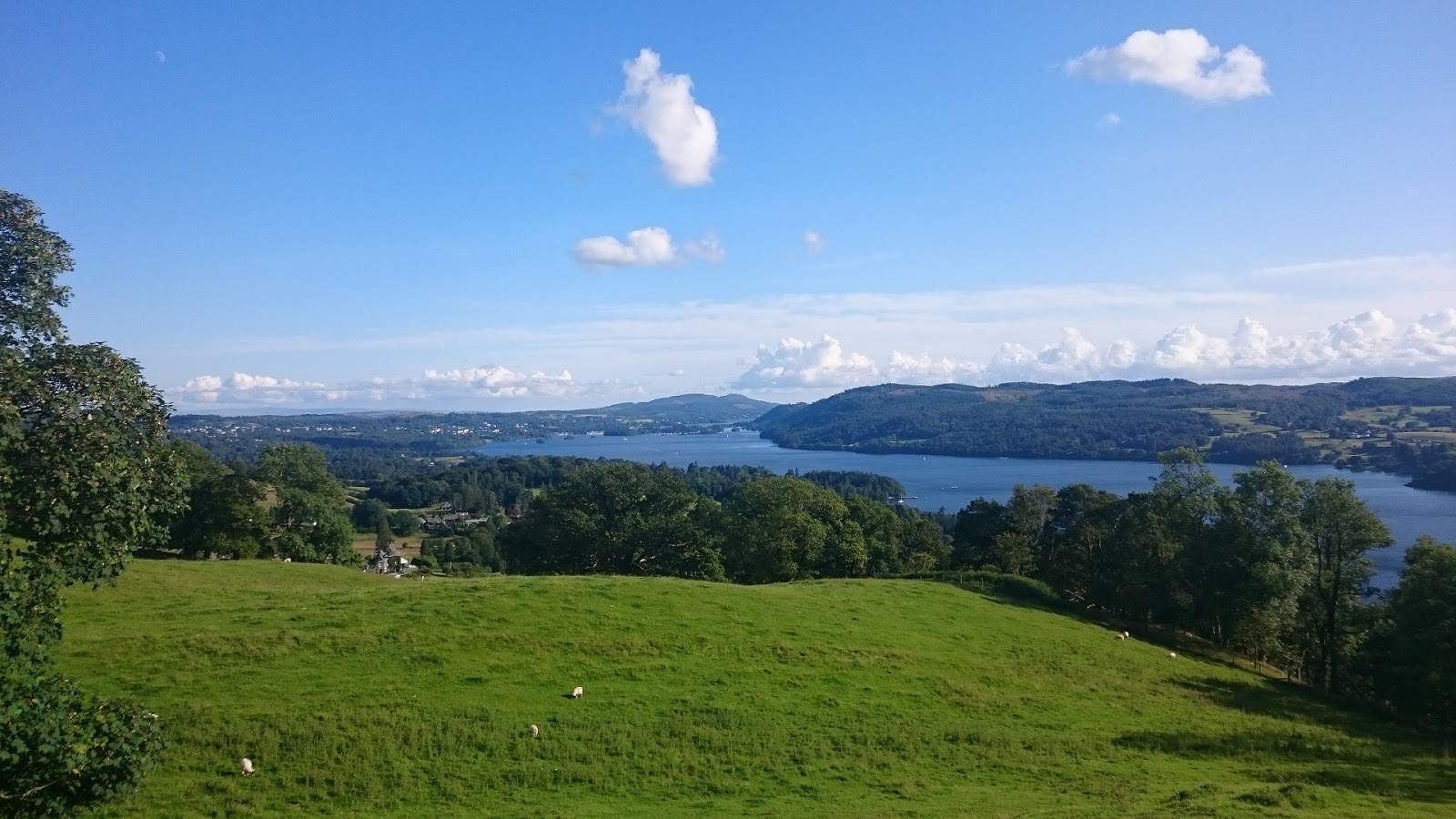
Kinder Downfall (or upfall)
Despite the wind it was clear day, so navigation was easy and I was down at Snake Pass at 9:47 and then started the climb up Bleaklow. The wind hit again at the top, but the descent was sheltered from the wind and was easy going down to Torside which I got to at 11:28 and was going well. I contemplating changing my wet socks but decided to get Black Hill out of the way.
After the long steady ascent upto Black Hill, my feet we’re soaking from the stream crossings just before the last uphill section, so I was glad I had waited to change my socks. It was windy again at the top so I pushed on downhill and at the road crossing, I changed socks by the brave marshall who was enduring the cold winds. After the short break I pushed on trying to get warm again.
After Black Moss Reservoir I crossed the A62 at Harrop Dale at 15:49 and was pleased with my progress so far. I was feeling good over Standedge but coming up over White Hill I had my first low, so before the M62 crossing I ate a pasty in hope of some extra energy. It took a while for it to kick in and to feel okay again, but I made it over Blackstone Edge now in darkness and past the White Horse pub by the A58 at 20:37.
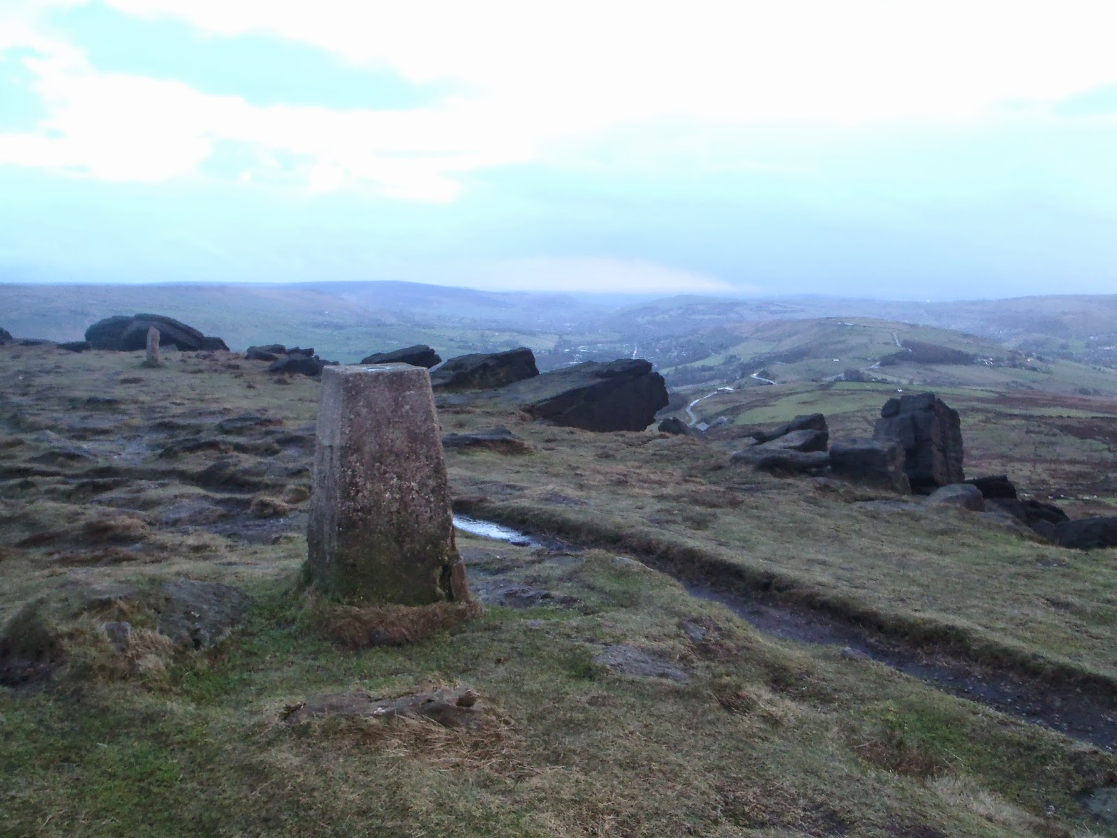
Great visibilty on Standedge (but bloody windy and cold)
The long flat section past the reservoirs to Stoodley Pike meant some quicker miles were made, but I was having issues with my headtorch, so I ended up buddying up with two runners to the monument and then ended up doing the final section with a strong walker called Mick. About two miles from the checkpoint my headtorch really started giving up, so made do with little light till the end, trying to stick closely to Mick. At this point the leaders of the full race passed us, including the eventual winner Pavel Paloncy, and they were flying. There was a horrible decent into the checkpoint and a sore knee that had been bothering me for about 10 miles, really started to bite.
I got into the checkpoint at 45 miles at about 22:30 on sore wet feet and with a sore knee. I knew my feet would be fine after some rest and some looking after, but wasn’t sure about my left knee. I had something to eat and tried to sleep for a couple of hours with my feet up. At about 00:30 I hobbled downstairs, realising that my knee was a big concern, so I made the decision that another 63 miles on it would probably mean many months recovery and the races and trips I had planned for the coming year would probably be written off. So just after midnight, despite my feet feeling a lot better and feeling all good apart from the knee, I told a marshall I was dropping from the race.
This is me and many others coming out of Edale at the start
I spent a lot of time at the checkpoint waiting for a lift to the train station in the morning. I got to talk to a lot of other racers and learn a lot as well as get to know some people I will no doubt see on future races.
I thought I would feel more disappointed by this DNF. But I feel I made the correct decision and that from the lessons I’ve learnt from this race, I could improve my chance of success on future races, including similar races and the Spine Challenger 2016. The lessons learnt for next year, include
·         Pack more socks
·         Carry the spare headtorch and more than enough batteries
  • ·         Book the whole Friday off and get to Edale earlier to avoid the stress of doing every thing in the evening.
  • ·         Make the most of the drop bag. Mine was 7.5kg, the limit was 20kg. So pack 2-3 times more spare clothes, food, batteries etc than required.
  • ·         Buy and pack some goggles (not just sunglasses), a lot of people had to retire from the race from a blindness caused from the extreme winds drying the eyes out.
  • Thanks for reading and anyone who followed my progress during the race, hopefully in 2016 I will be more successful.


Friday, 2 January 2015

28-29th December 2014- Lake District Northern Fells

I slept in a car park on the A66 Saturday night by Scales Farm and woke up early enough Sunday to be able to start walking at first light. The valleys we're free from snow, but above around 400/500m snow clung to the tops. I ascended Mouthswaite Combe and then at the pass I decided to bag my first easy hill, Souther Fell.
Souther Fell 
I then headed back toward Blencathra and followed the path to Scales Tarn. There we're now quite a few people on the hills and several also going upto Sharp Edge. I put my crampons on and axe out and then started on the ridge. I made it 20 or so metres and then after a hairy bit and then getting stuck in traffic that I wasn't feeling upto it.
Climbers on Sharp Edge
So I back tracked down to Scales Tarn and then ascended Blencathra from the easy path up. The early bit of cloud had now cleared and it had turned into a beautiful crisp sunny day and from the summit of Blencathra there we're stunning views across the whole of the Lakes, Dumfries and Galloway to the north and the Pennines to the east.
Looking over Blencathra (Derwent Water behind in the distance)
I then descended north-west down to Roughten Gill and then briefly onto the bridleway in the valley before ascending Lonscale Fell and getting back onto the snow. Apart from all the people on Lonscale Fell it was perfect and I had more great views in all directions. I then carried onto Skiddaw and at this time people we're starting to head off the hills, so by the time I got to the top of Skiddaw I was the only one there.
Looking back over Lonscale Fell (Blencathra left, Helvellyn right)
I descended north off Skiddaw following the fence to Bakestall and then down Birkett Edge to the bridleway by a small waterfall called Whitewater dash. At this time it had gotten dark and I followed the icy bridleway using my headtorch till I found a decent enough place to pitch a tent.
Skiddaw summit
It was a cold night out, but I had plenty of warm layers on and my very warm sleeping bag, so I was able to get a decent nights sleep. On Monday the morning I packed up the tent in the dark and by the time I had gotten my things together it was getting light. It was clear as I headed up Great Calva and I had a cloud free summit, with little clag over Blencathra and Skiddaw.
Great Calva
I walked north-west following the fenceline and then when it turned I headed off north instead and descended to a pass below Knott. There was still a fair amount of snow on these hills, despite from a distance it not looking like much.
Knott, much to look at
As I ascended Knott I came into cloud and after the longer than expected walk to the top it still hadn't cleared so I took a compass bearing east to find my path north over to Hare Stones. From here I followed another compass bearing to follow the broad ridge through the thick clag, using my GPS occasionally to check my course until I reached Carrock Fell.
Carrock Fell
At first I couldn't see anything from Carrock Fell, but after a bit of food, the clag disappeared and I had the great visibility I had the day before. I then walked a rough south-westerly course into the Caldew Valley where I followed the river to try and find somewhere to cross. I walked about 2km passed a weir looking for a shallower place to cross. But after no luck, went back to the weir where 300mm high water soaked my feet, despite managing to keep them dry until now.
Blencathra from Bowscale Fell
With wet feet, I warmed them up with a pathless slog up a snow capped Bowscale Fell. The temperature was noticeably dropping so I carried onto Bannerdale Crags while admiring the view of the northside of Blencathra. After my final peak I headed down into the valley and followed the paths I started on back to my car.
Happy New Year

Monday, 1 December 2014

11th October 2014- Lakes in a Day

Start- Cartmel
I slept in the car at Cartmel and was woken early by the rain. After registration we we're taken by coach to Caldbeck. We got there at 7:50 and we all set off at 8. It started off dry but as we got higher up the first fell it started to rain. After a slight mishap navigationally off High Pike we crossed the river crossing along the temporary bridge set up by the race organisers and then up Blencathra.
Crossing Caldew
After the slog up Blencathra it was the tricky (slippy when wet) descent down Halls Fell Ridge and then to the well stocked aid station at Threlkeld. 
Descending Blencathra
The hard grind up Clough Head followed and then after the Dodds to Helvellyn and over Dollywagon Pike and down to Grisedale Tarn for the ascent up Fairfield. The summit is followed by the long descent to Ambleside.
Descending Fairfield
After some food and coke it was back out to the second half of the race which felt completely different as it was less hilly and more runnable trail. The route follows Lake Windermere for a quite a bit and through mostly woodland area. I ran with a few others and we ticked off the miles together until coming to the final checkpoint at Finsthwaite. After a feed at the check point it was into the dark and a group of us navigated our way to the end at Cartmel the finish after about 13 and a half hours running. A very good route and with great company along the way.
Job done
Credit to Haglofs Lakes in a Day for photographs.